
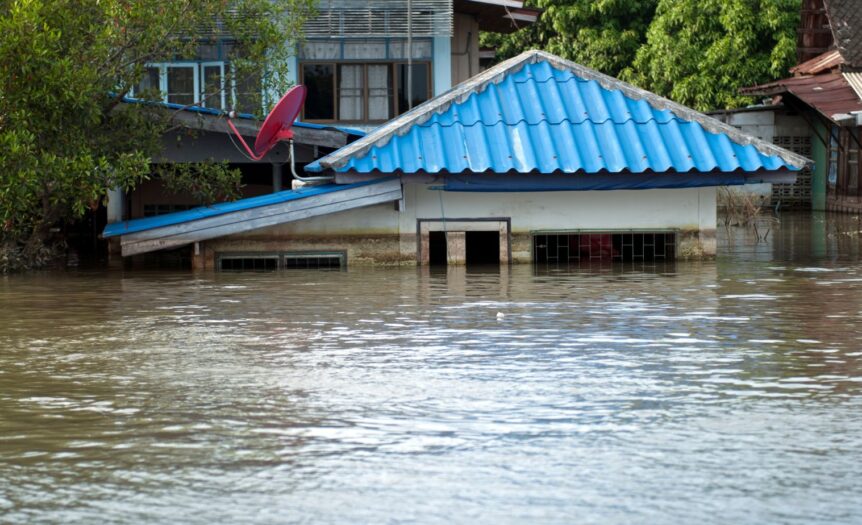
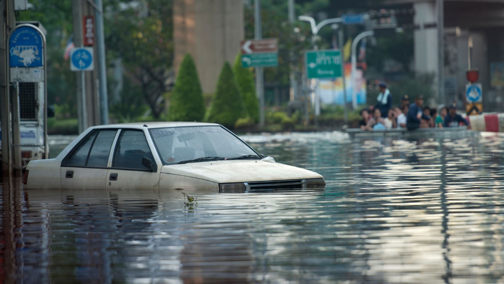
As cities continue to grow and expand, it’s crucial for urban planners and developers to consider the potential risks and impacts of flooding. Floods can cause massive damage to infrastructure, disrupt essential services, and pose serious threats to public health and safety.
That’s where a flood map comes in – this critical tool helps to identify areas that are prone to flooding and guides decision-making around urban development. In this article, we’ll explore the importance of using a flood map for planning and how it can help to create more resilient, sustainable cities.
What is a Flood Map?
A flood map is a visual representation of areas that are at risk of flooding, based on factors such as topography, hydrology, and historical flood data. These maps typically use color-coding or shading to indicate different levels of flood risk, ranging from low to high probability.
There are several types of flood maps that may be used for planning purposes, including:
- FEMA flood maps: These are official maps produced by the Federal Emergency Management Agency (FEMA) that identify areas at risk of flooding from rivers, streams, and coastal sources. They are used to determine flood insurance requirements and guide building codes and standards.
- Local flood maps: Many cities and counties produce their own flood maps that provide more detailed, localised information about flood risks. These maps may incorporate additional data sources, such as stormwater infrastructure and future land use plans.
- Historical flood maps: These maps show areas that have been impacted by past flood events, providing valuable information about the extent and frequency of flooding in a given area.
By using a combination of these flood maps, urban planners and developers can gain a comprehensive understanding of the flood risks in a particular area and make informed decisions about where and how to build.
Why Use a Flood Map for Planning?
There are several key reasons why using a flood map is essential for effective urban planning and development:
-
Identifying High-Risk Areas
One of the primary benefits of using a flood map for planning is that it helps to identify areas that are at high risk of flooding. By understanding where these areas are located, planners can make informed decisions about where to allow or restrict development.
For example, if a flood map shows that a particular area is prone to frequent or severe flooding, planners may choose to limit development in that area or require that any new buildings be designed to withstand flooding.
On the other hand, if an area is identified as having a low risk of flooding, it may be prioritized for development.
-
Guiding Infrastructure Investments
Flood maps can also help to guide investments in flood protection infrastructure, such as levees, floodwalls, and stormwater management systems. By understanding where the greatest risks are located, planners can prioritize investments in these areas to help mitigate the impacts of flooding.
For example, if a flood map shows that a particular neighbourhood is at high risk of flooding due to inadequate stormwater infrastructure, the city may choose to invest in upgrading that infrastructure to reduce the risk of flooding.
This could include installing larger storm drains, constructing retention ponds, or implementing green infrastructure solutions like rain gardens and permeable pavement.
-
Informing Land Use Decisions
Flood maps can also help to inform land use decisions, such as zoning and development regulations.
By understanding which areas are at risk of flooding, planners can create policies and regulations that encourage development in lower-risk areas and discourage it in higher-risk areas.
For example, a city may choose to limit the density of development in flood-prone areas, require that new buildings be elevated above the base flood elevation, or restrict certain land uses that are particularly vulnerable to flooding, such as hospitals or schools.
-
Communicating Risk to the Public
Finally, flood maps can be a valuable tool for communicating flood risk to the public. By making these maps publicly available and easily accessible, cities can help residents and businesses understand their own flood risk and take steps to protect themselves and their property.
This could include providing information about flood insurance, offering guidance on how to prepare for a flood event, or encouraging residents to participate in community-based flood mitigation efforts, such as volunteer storm drain cleaning or tree planting programs.
Most Practices for Using Flood Maps in Urban Planning
To get the most value out of flood maps in urban planning, there are several best practices that cities can follow:
-
Use the Most Up-to-Date Maps
Flood risks can change over time due to factors like land use changes, climate change, and infrastructure improvements. That’s why it’s important for cities to use the most up-to-date flood maps available when making planning decisions.
Cities should regularly review and update their flood maps to ensure that they accurately reflect current risks and conditions. This may involve working with state or federal agencies to access the latest data and modeling tools.
-
Incorporate Multiple Data Sources
While FEMA flood maps are an important resource, they are not the only source of information about flood risks.
Cities should also incorporate local data sources, such as stormwater infrastructure maps, land use plans, and historical flood records, to create a more comprehensive picture of flood risk.
By using multiple data sources, cities can identify areas that may be at risk of flooding, even if they are not shown on FEMA maps, such as areas that are prone to urban flooding due to inadequate stormwater infrastructure.
-
Engage the Community
Effective flood risk management requires the participation and buy-in of the entire community. That’s why it’s important for cities to engage residents, businesses, and other stakeholders in the flood mapping and planning process.
This could include holding public meetings to share information about flood risks and gather input on potential mitigation strategies, partnering with community organizations to raise awareness about flood preparedness, or creating opportunities for residents to participate in flood mitigation projects, such as tree planting or rain garden installation.
-
Use Maps to Guide Decision-Making
Finally, it’s essential that cities actually use flood maps to guide decision-making around urban development and infrastructure investments. While creating accurate and up-to-date flood maps is important, they are only valuable if they are actually used to inform planning and policy decisions.
Cities should establish clear policies and procedures for incorporating flood risk information into planning processes, such as requiring that all new development proposals be reviewed against flood maps or establishing criteria for prioritizing infrastructure investments based on flood risk.
The Bottom Line
Flooding is a major risk for cities around the world, and as urban populations continue to grow and climate change intensifies weather patterns, this risk is only expected to increase.
That’s why it’s more important than ever for cities to prioritise effective flood risk management in their planning and development processes.
Using a flood map for planning is a critical step in this process. By identifying areas that are at risk of flooding, guiding infrastructure investments and land use decisions, and communicating risk to the public, cities can create more resilient, sustainable communities that are better prepared to withstand the impacts of flooding.
However, creating and using flood maps is just one piece of the puzzle.
To truly mitigate flood risk, cities must take a comprehensive, proactive approach that includes a range of strategies, from investing in green infrastructure and stormwater management to promoting community-based preparedness and resilience.